[ 01 / 04 ]
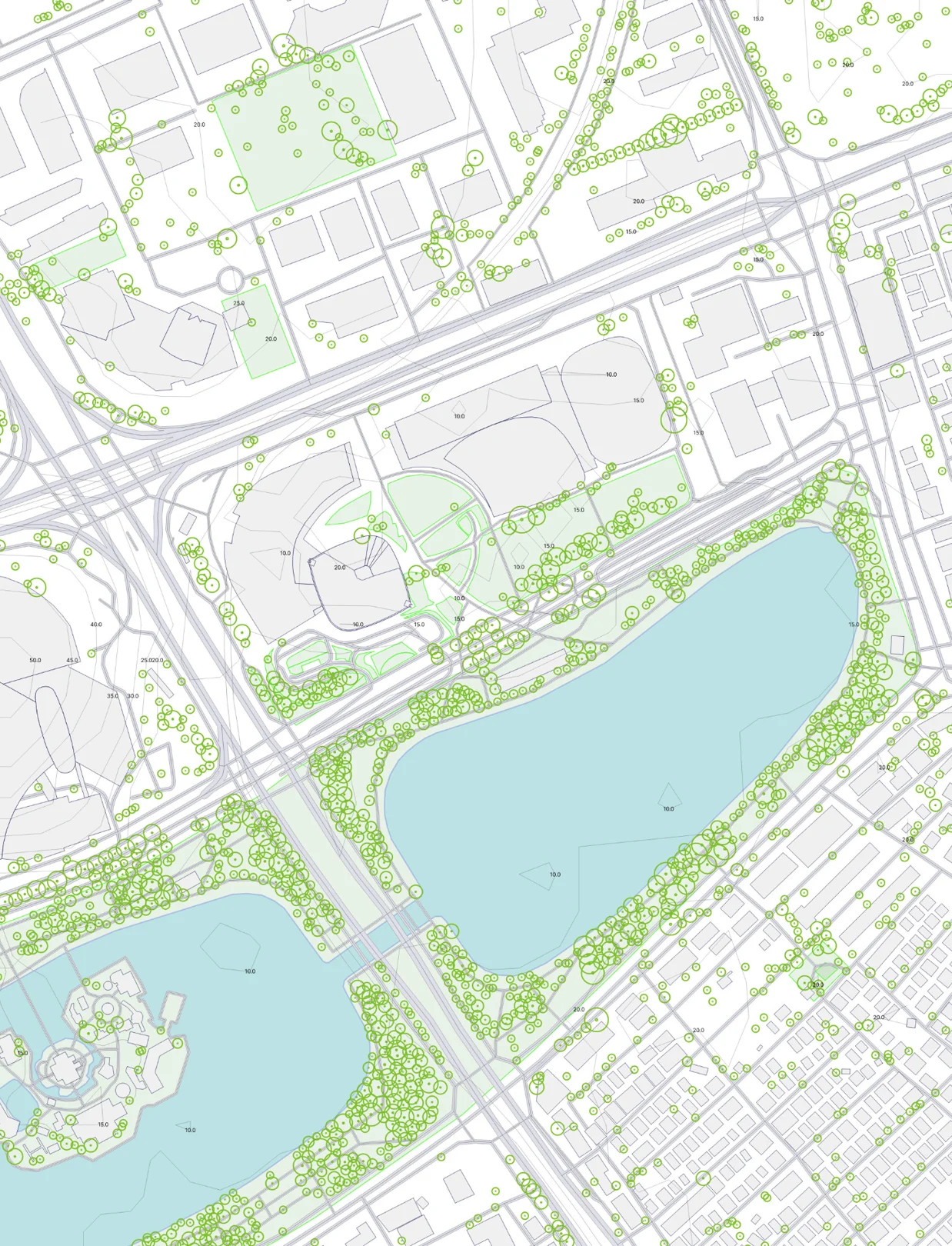
Cadastral classification
Registered against parcel boundaries, sorted by land category. Where ground and record disagree, we mark it.

Mapping terrain, parcels and earthwork volumes on the first flight.
±2cm
[ Detection Accuracy ]
100 km²/day
[ Coverage ]
360°
[ Scan ]
Construction sites, quarries and land under review — often the parts a crew cannot safely stand on.
Ground control set, planned grid flown at fixed altitude, overlap held so accuracy holds across the whole site.
Paddies, orchards and forestry blocks, where uneven ground makes hand spraying inconsistent.
The surface is scanned first, so the route follows the terrain. Slopes get the same dose as flat ground.
[ 01 / 04 ]
Registered against parcel boundaries, sorted by land category. Where ground and record disagree, we mark it.
[ 02 / 04 ]
Measured on the true surface, not a flat projection, so slopes read correctly. Cut and fill from the same model.
[ 03 / 04 ]
Even cells at any spacing, each carrying its own measured values. For spray passes, plots, inspection rounds.
[ 04 / 04 ]
GeoTIFF, DWG, SHP, LAS, OBJ, PDF — in your coordinate system.
SOLUTION
FT Viewer is our own program, developed in-house — one place to read a site's terrain in whichever form the question calls for.
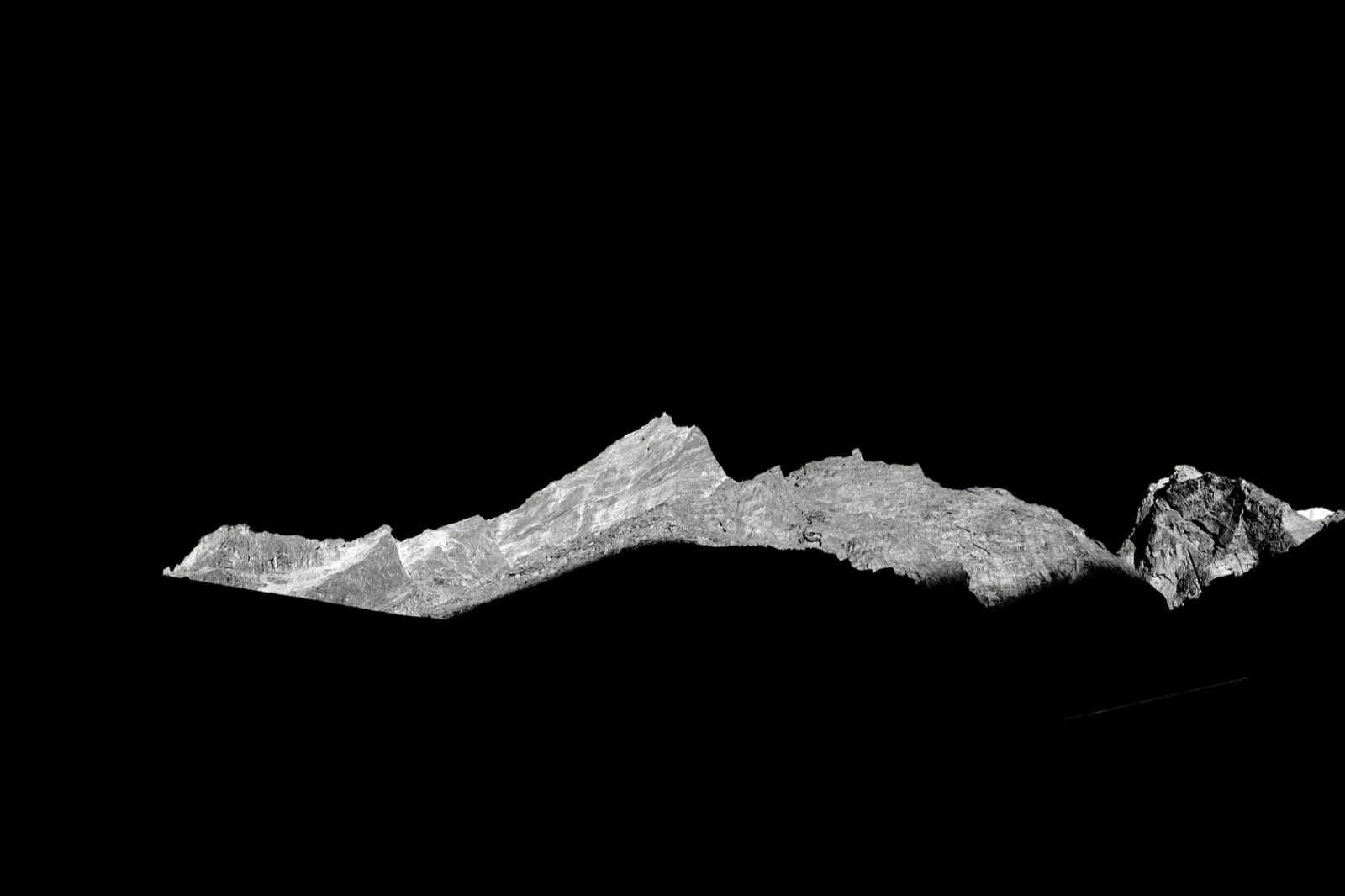
The surveyed site rebuilt as a textured 3D model. Turn it to any angle to read cut, fill and level changes.
Status: Live
The model rendered as video along a flight path, so the whole site reads in one pass.
Status: Live

One point, every direction in a single frame — terrain and the structures on it together.
Status: Live
READY FOR TAKE OFF?