
FT Viewer
SOLUTION
FT Viewer is our own program, developed in-house — one place to read a site's terrain in whichever form the question calls for.

High-Precision, Reliable Photogrammetry
FT Viewer
-
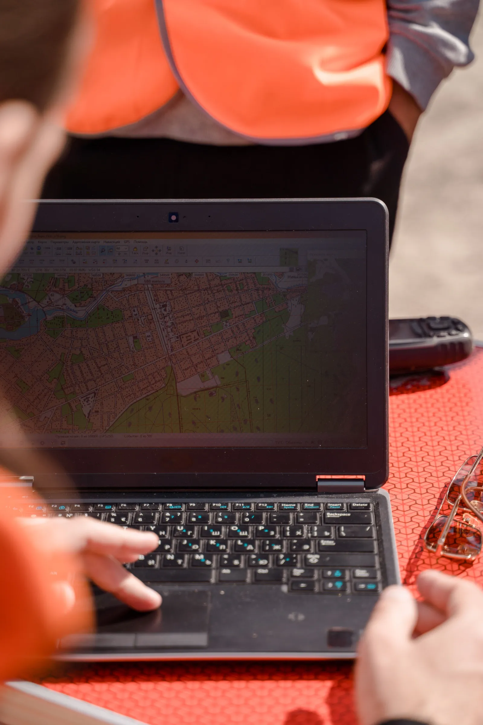
Checked before you leave the site
Small sites are processed on location. The orthomosaic, surface model and 3D model are reviewed in the field, so a missed area is reflown the same day.
-
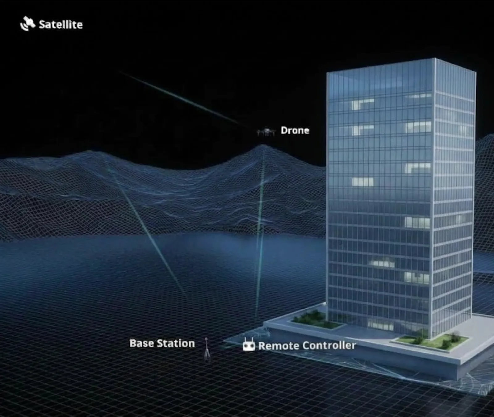
Centimetre accuracy, 1:500 mapping
RTK and PPK positioning, tied to ground control and checked against independent checkpoints. The result meets 1:500 mapping for engineering survey and terrain work.
-
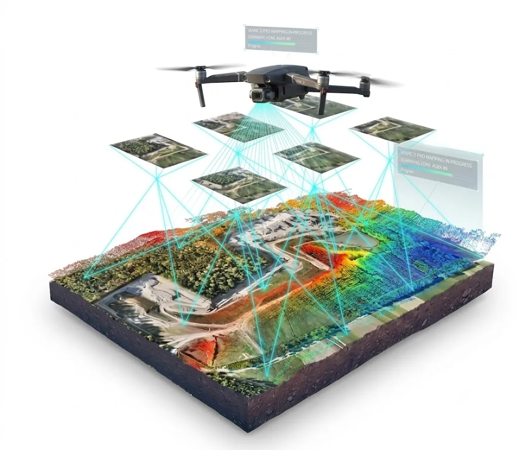
Photo and LiDAR in one model
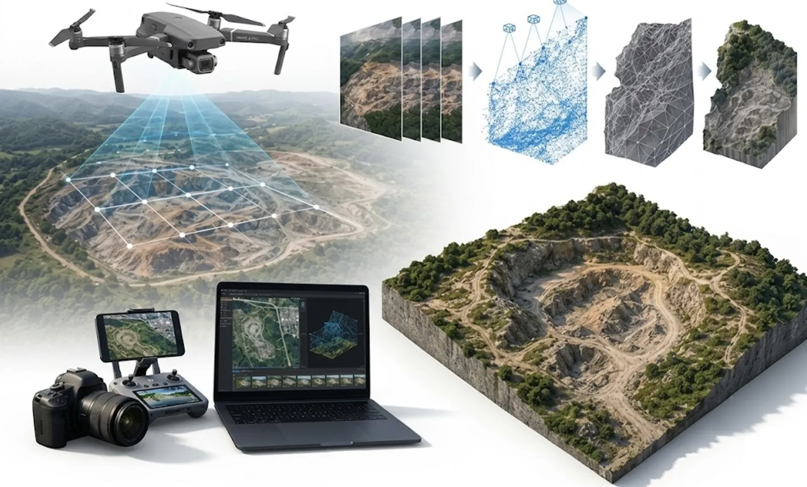
A single collection produces a point cloud, a 2D map and a 3D mesh together. Bridges, substations and dense structures keep their detail.
-
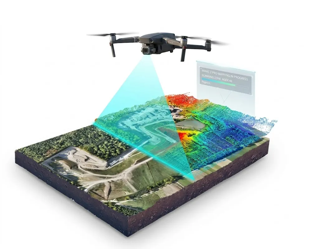
From one site to a whole district
Industrial complexes, infrastructure corridors and city blocks are reconstructed as one scene, ready for digital twin and smart city work.
-
No workstation required
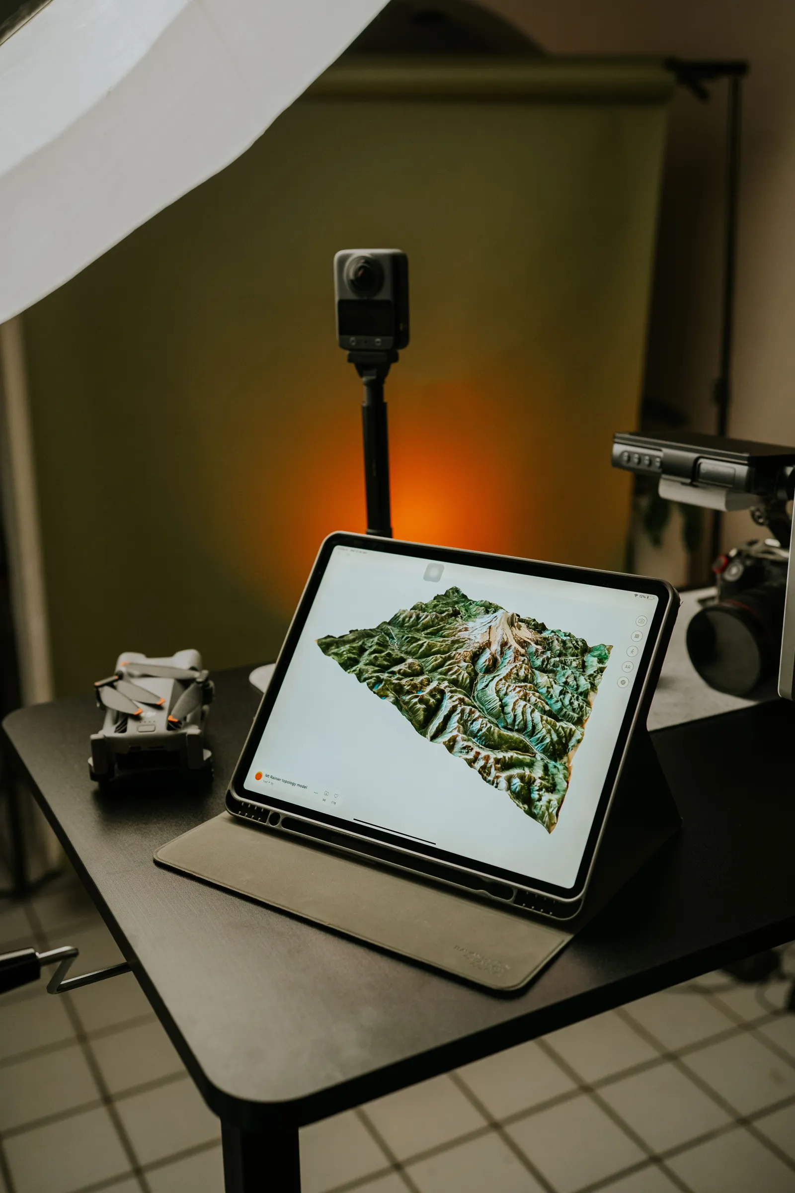
FT Viewer runs in a browser. Projects open on an office laptop or a site tablet without buying a high-end computer.
-
Out in the formats you already use
Results export to GeoTIFF, LAS, OBJ, SHP and DXF, and open directly in CAD and GIS software.
Experience
FT Viewer
PREVIEW
Place a pin, upload a GPS photo, and explore roads, buildings, farmland and natural features around your location.
1Project Location
Address could not be resolved automatically Confirm the location manually on the map, or enter coordinates.
Drag the pin — or click the map — to put it exactly where the project is.
Or enter coordinates
Search for the site or enter its coordinates, then drag the pin to put it exactly where the project is.
2Aerial Image
Optional project information
Anything found in the image's own metadata is filled in for you, and never overwrites what you have typed. These fields are project context — they do not change how the analysis is calculated.
Drop a GPS-tagged JPG, PNG or WebP here (up to 25 MB)
That file type is not supported. Use JPG, PNG or WebP.
Photo coverage requires camera heading, pitch, roll, height above takeoff and lens metadata. Map data: © OpenStreetMap contributors.
We work with the best solution
FT Viewer is our own spatial data program. One site, every form of terrain, on one monitor screen.
Request a flight
READY FOR TAKE OFF?