ABOUT
FT DRONE
Precision drone services for mapping, inspection and thermal imaging — the aerial data handled end to end, in house.
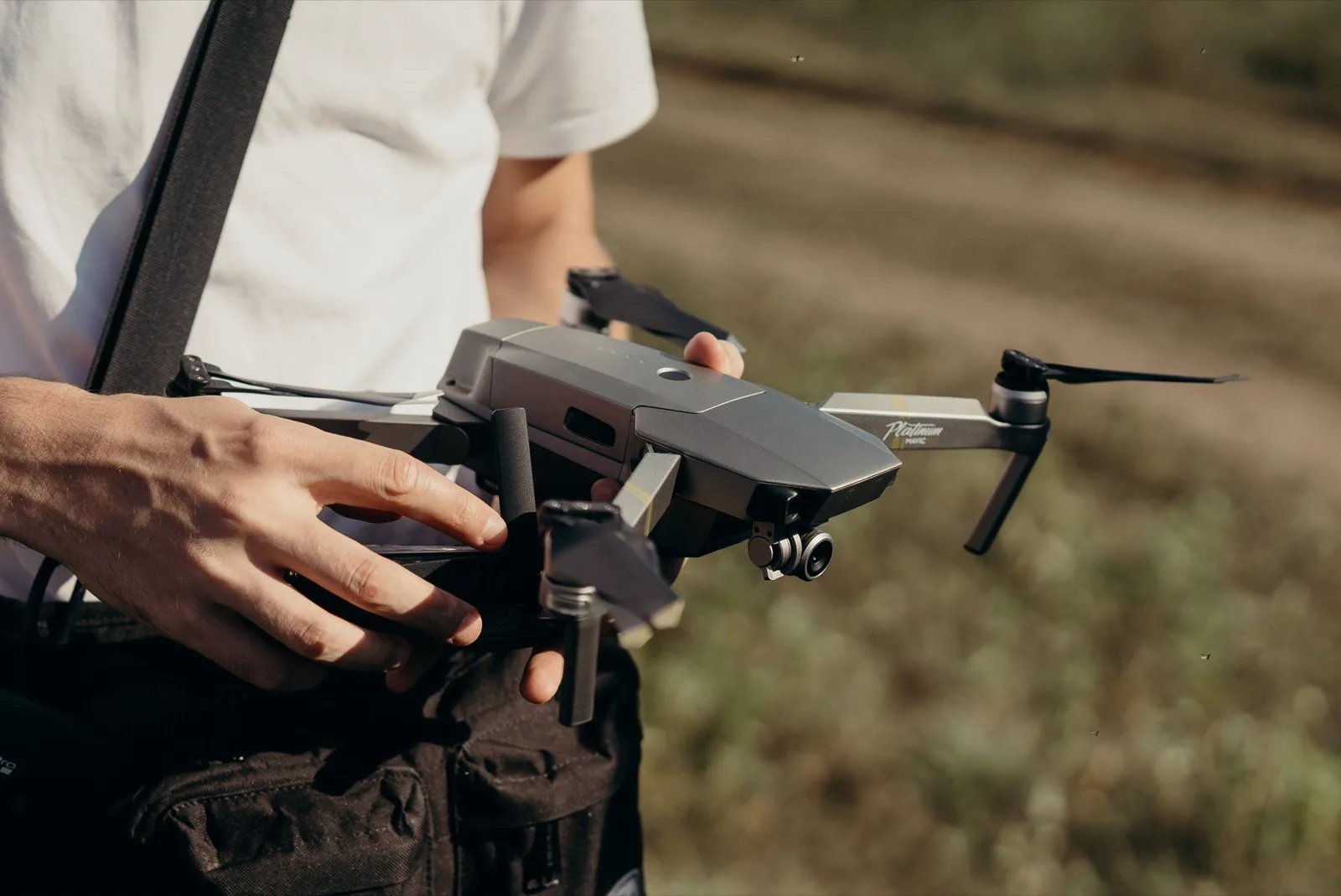

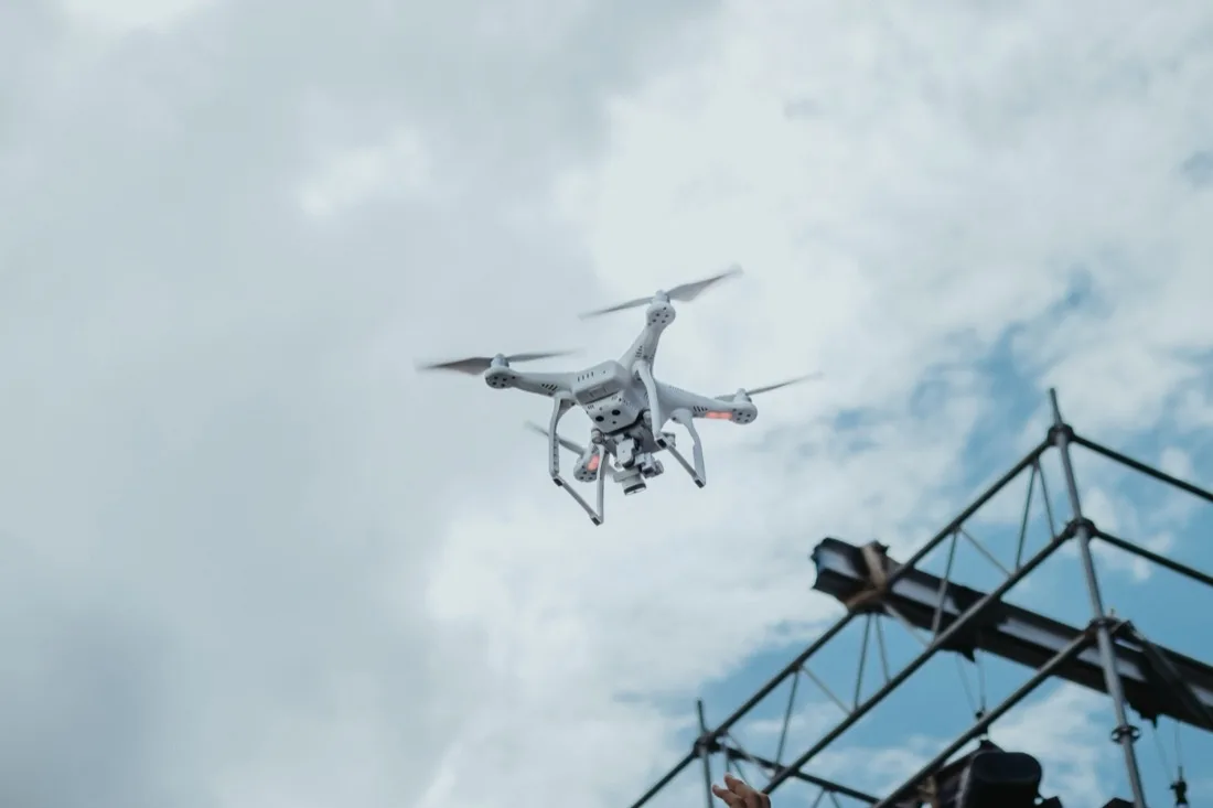
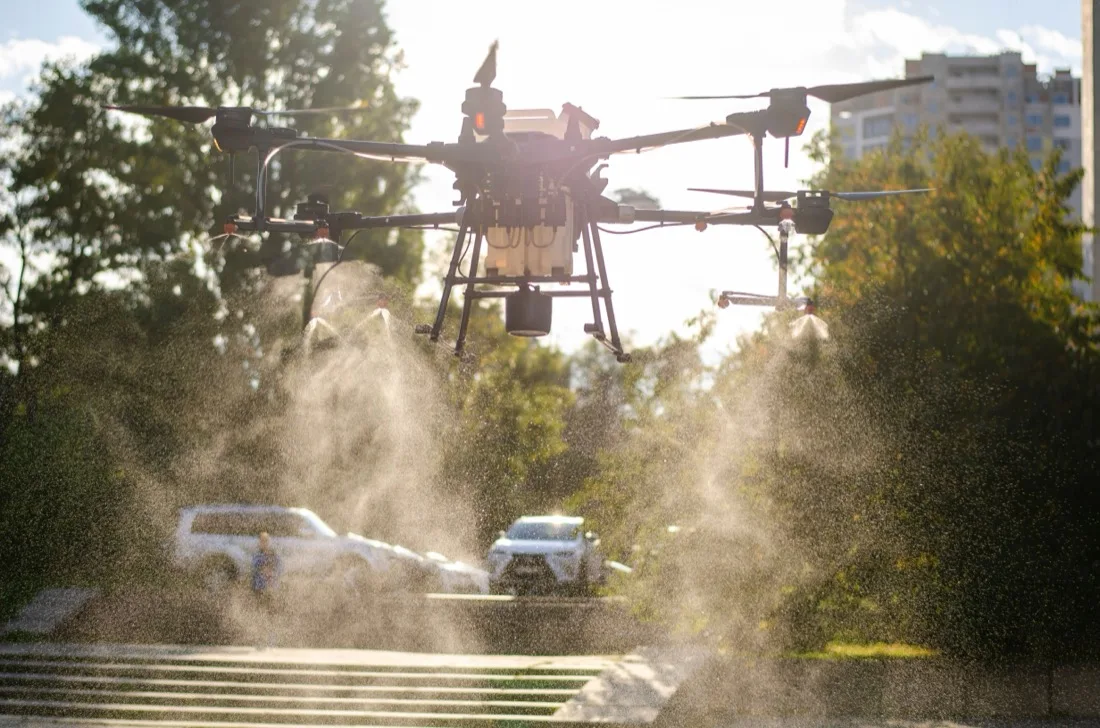
6 Years of Flight Experience
ABOUT US
Precision Aerial Solutions
Every flight goes out with advanced drones, certified pilots and strict safety procedure, so the aerial data and footage that come back can be relied on — for planning, inspection, monitoring and digital records.
- Certified and Experienced Drone Pilots
- High Precision Mapping Equipment
- Flexible Project Based Solutions
- Fast Data Processing and Delivery
- Operational Safety and Compliance
- Trusted by Industrial Clients
-
9,480
[ Work Hours ]
-
143
[ Projects Done ]
-
127
[ Satisfied Clients ]
-
5
[ Drone Types ]
Ready to take your next aerial mission to the sky?
One team, from the first call to the delivered data.
HOW IT WORKS
How our aerial mapping process works
From flight planning to final CAD export, we deliver engineering-grade spatial data in four simple steps.
-
1
Consultation
We start from the site and the question — what has to be measured, and what the result is for.
- Site walk-through
- What has to be measured
- What the result is for
-
2
Planning and approval
Flight plan, altitude and grid are set, and airspace approval is filed where the site requires it.
- Flight plan and grid
- Altitude and overlap
- Airspace approval
-
3
Flight
Certified pilots fly the mission with ground control set on site, so accuracy holds across the whole area.
- Certified pilots
- Ground control on site
- Accuracy across the area
-
4
Delivery
The same team processes the data through to measured terrain, and hands it over ready to open.
- Processing by the same team
- Measured terrain
- Handed over ready to open
We work with the best solution
FT Viewer is our own spatial data program. One site, every form of terrain, on one monitor screen.
See FT Viewer