
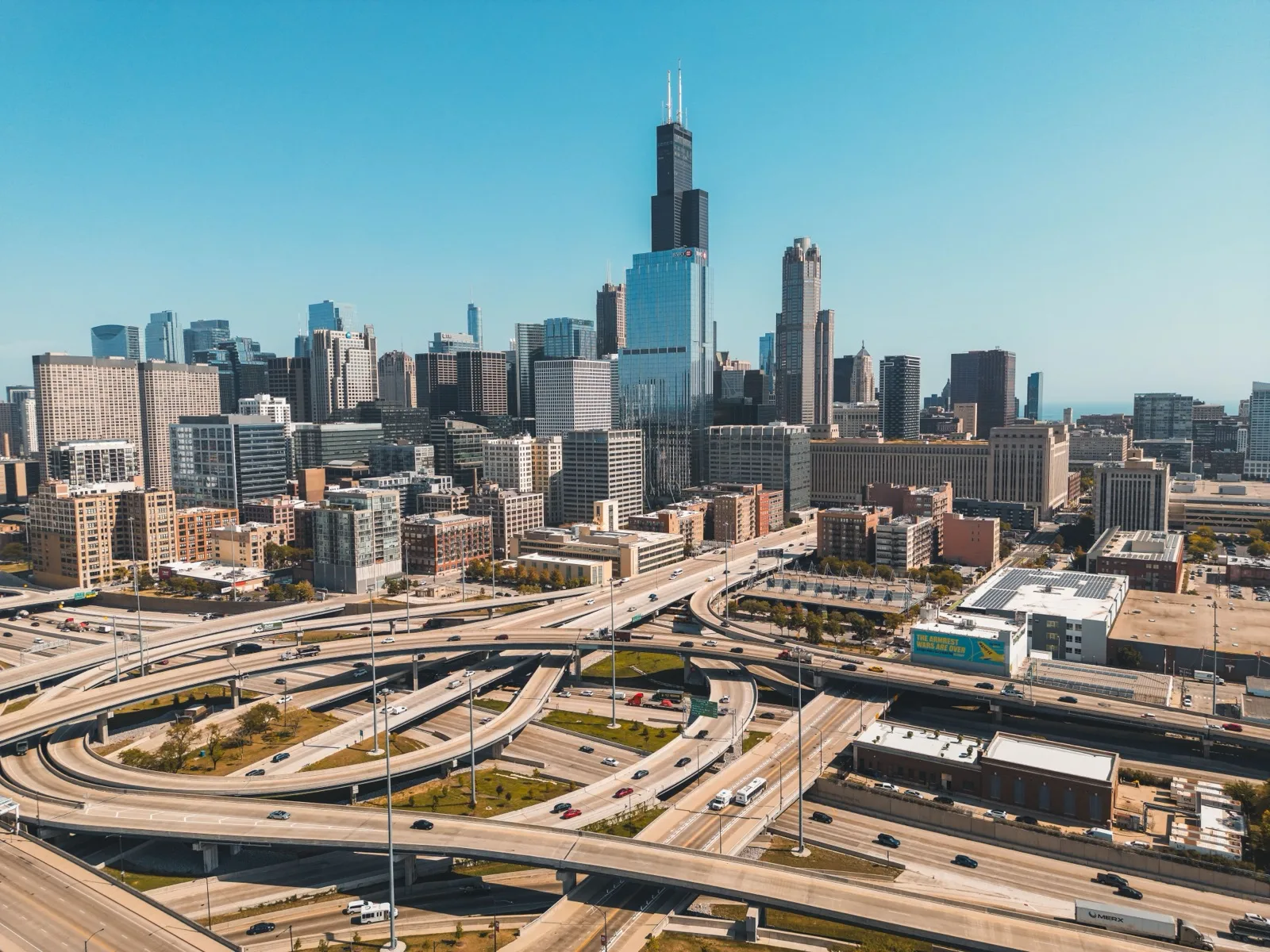
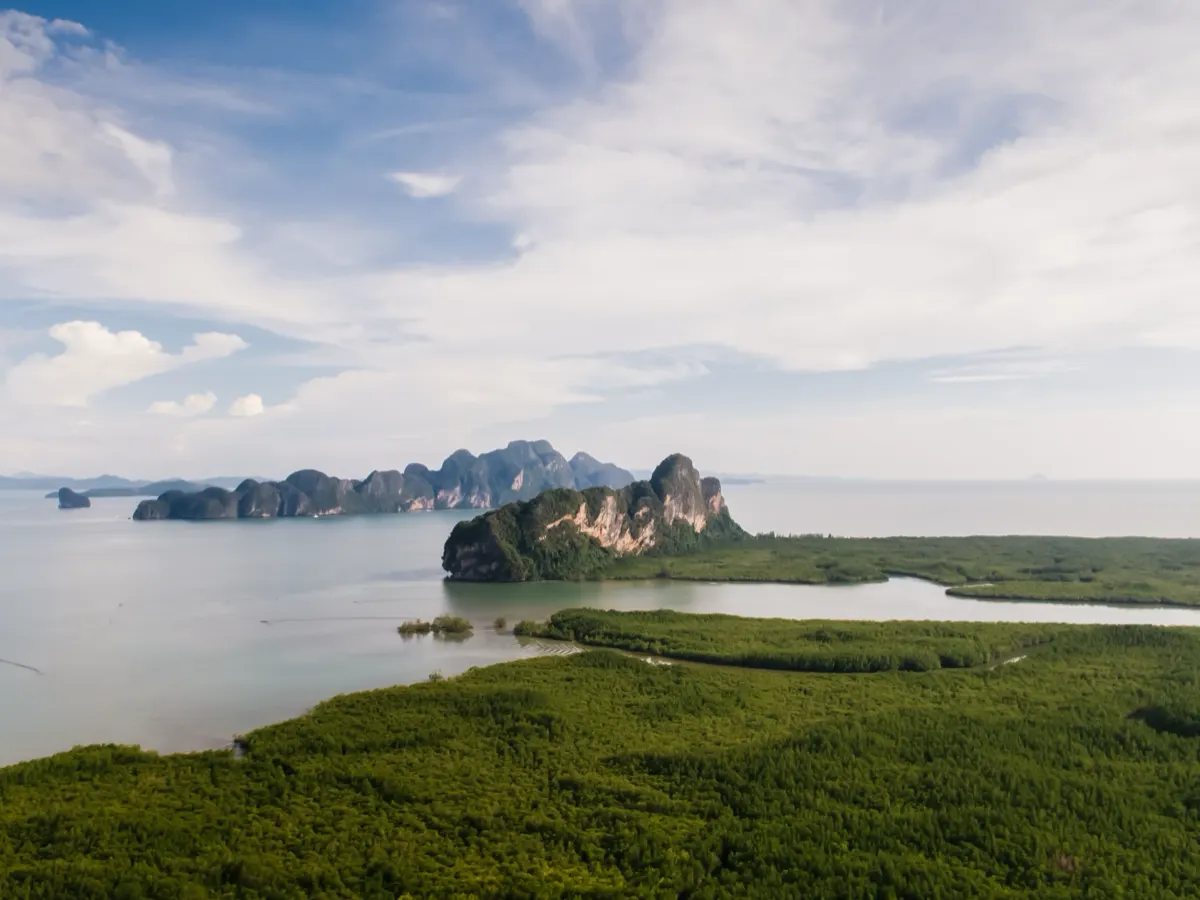
Engineered for precision, built for performance
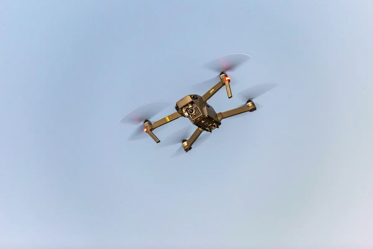
Designed with advanced flight stabilization systems and high-efficiency propulsion technology, our drones deliver exceptional control in demanding environments. Every component is optimized for accuracy, durability, and consistent performance — ensuring reliable aerial results for professionals who depend on precision.
Our Service
Survey & Mapping
Construction sites, quarries and land under review — often the parts a crew cannot safely stand on.
Ground control set, planned grid flown at fixed altitude, overlap held so accuracy holds across the whole site.
What comes back is a measured site: areas, boundaries and earthwork volumes you can check against the drawing.
Agricultural Spraying
Paddies, orchards and forestry blocks, where uneven ground makes hand spraying inconsistent.
The surface is scanned first, so the route follows the terrain. Slopes get the same dose as flat ground.
The route is recorded with the job, so a season of passes can be repeated and accounted for.
Disaster Response
Fire, flood and collapse sites, where the first hours shape the response.
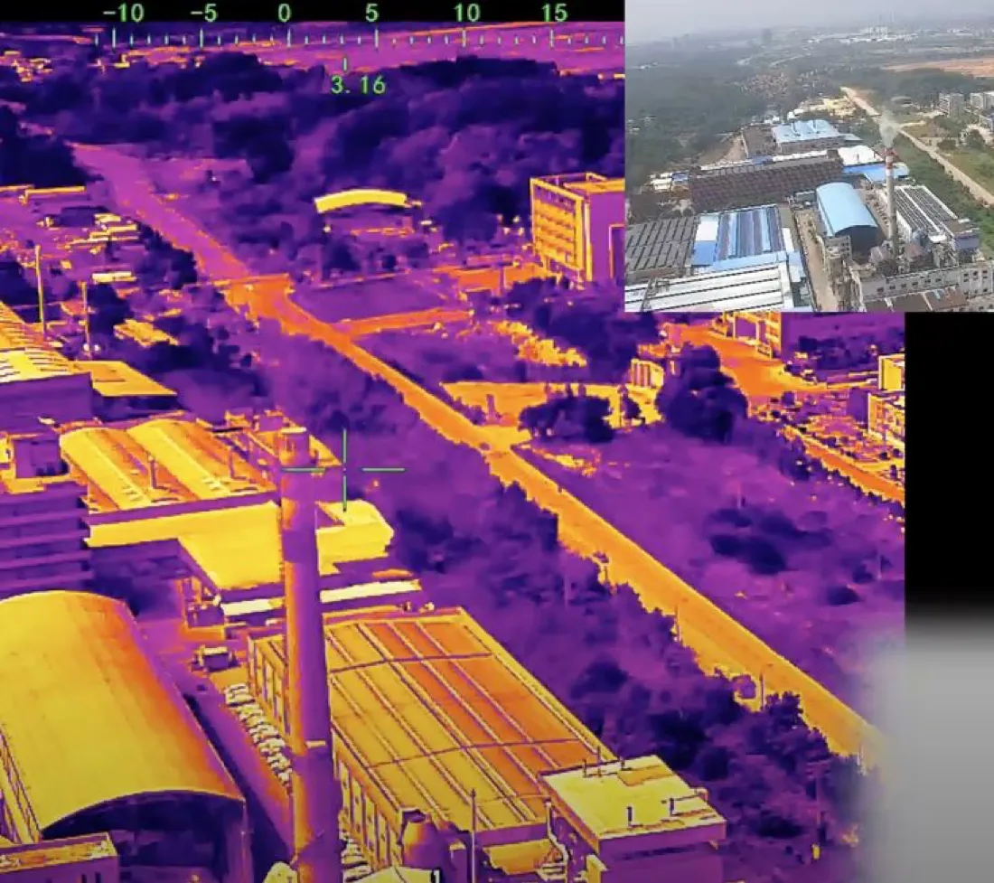
Thermal and daylight cameras on one pass, with the affected area measured rather than estimated.
The result is ready while the response is still forming, and stands as the record of that hour.
Smart City & 360°
Infrastructure and public space that has to stay on record as it changes.
Flown on a repeating schedule so surveys stay comparable, with 360° passes for walkthroughs.
Every department and contractor opens the same model, and change between dates comes out as a figure.
Key Features
-
Ground control on site
Control points are set and measured before the flight, so the model sits on real coordinates rather than relative ones.
-
Fixed altitude, held overlap
The planned grid is flown at one altitude with consistent overlap, so accuracy does not drift from one edge of the site to the other.
-
Earthwork volumes
Cut and fill are calculated from the surface itself, and the figure can be traced back to the flight it came from.
-
Areas and boundaries
Parcel areas and site boundaries are measured off the survey, ready to check against the drawing.
-
Reaches what a crew cannot
Slopes, quarry faces and water edges are surveyed without anyone standing on them.
-
Delivered in FT Viewer
The terrain opens in our own program, so the site, the designer and the client read the same model.
-
Terrain-following route
The surface is scanned before spraying, and the flight path holds a constant height above it instead of above sea level.
-
Even dose on slopes
Because height above ground stays fixed, a hillside receives the same application rate as flat land.
-
Block boundaries respected
The spray area is drawn from the survey, so neighbouring plots and waterways stay outside the route.
-
Covers ground crews cannot
Orchards, terraced paddies and forestry blocks are treated without walking the rows.
-
Repeatable schedule
The same route can be re-flown through the season, so each pass covers the same area the same way.
-
Thermal and daylight together
Both cameras run on a single pass, so heat and visible detail are recorded from the same position at the same time.
-
Affected area measured
The extent of a fire, flood or collapse comes out as a figure, not an estimate read off a photograph.
-
Flown without entering
Unstable ground, standing water and active fire lines are surveyed from the air, with no one on the site.
-
Fast turnaround
The data is processed by the same team that flew it, so the first usable result is available while the response is still forming.
-
A record of the event
The flight stands as the state of the site at that hour, for the review and the claim that follow.
-
Repeating schedule
The same altitude, grid and control points are reused each time, so two dates of one site can be laid over each other.
-
Change you can measure
Comparing flights shows what moved and by how much, rather than that something looks different.
-
360° walkthroughs
Panorama passes let anyone stand at a point on the site and look around it from a browser.
-
Public space on record
Streets, parks and infrastructure are documented as they are, for planning and for the record that outlasts the project.
-
One shared model
Departments and contractors open the same survey instead of circulating their own copies.
PROCESS
Six steps from the first call to the report
-
01
Intake
- Consultation on location and area
- Survey target defined
-
02
Flight planning
- Airspace approval and scheduling (1–2 weeks)
- Capture plan set (2D / 3D)
- Test flight
-
03
Ground control points
- GCP positions chosen
- Aerial targets installed
- Control points surveyed
-
04
Aerial capture
- Overlap set for data quality
- Main flight based on the test result
- Image quality checked on site, in real time
-
05
Data processing
- FT Viewer
- Capture data mapped and corrected
- Orthometric analysis
-
06
Report delivery
- Point cloud, DSM and 3D model output
- Survey database built
OUR STANDARD
We're about
quality and trust
-
Quality
Ground control is set on every site and the grid is flown at fixed altitude, so accuracy holds from one edge of the area to the other.
-
Professional
Certified pilots fly the mission and the same team processes the data. This is the work we do every day, and we know what a site needs before it asks.
-
Trusted
We stand behind every figure we hand over, and we can show where it came from. Clients come back to us because the last survey held up.